Ketchikan Sectional Aeronautical Chart
| Rating: 5!
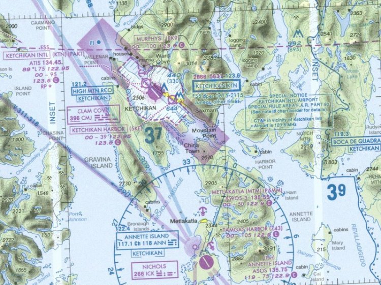
The chart covers the southernmost end of Alaska and Canadian Graham Island. Both sides of the sheet in hi-res pasted together complete with legend and notes. Size 7339x5345 pixels.
→ Size:
8 MB
→ Date:
16 years ago (13.10.2009 02:54)
→ Author:
NACO
→ Approved by moderator:
Lenya69
→ License:
Freeware - Free version, Unlimited Distribution
→ Downloaded:
444 time(s)
5
ty man !
− chipst3r,
16 years ago,
#
And the western part (Nome area) somewhere there?
− летун,
16 years ago,
#
Has laid Nom. Soon to appear in the files.
− Vasiliy,
16 years ago,
#
Forgot to specify in the description, the card is valid from 08.04.10. The scenario in the simulator - FSAddon Misty Fjords.
− Freddie,
16 years ago,
#