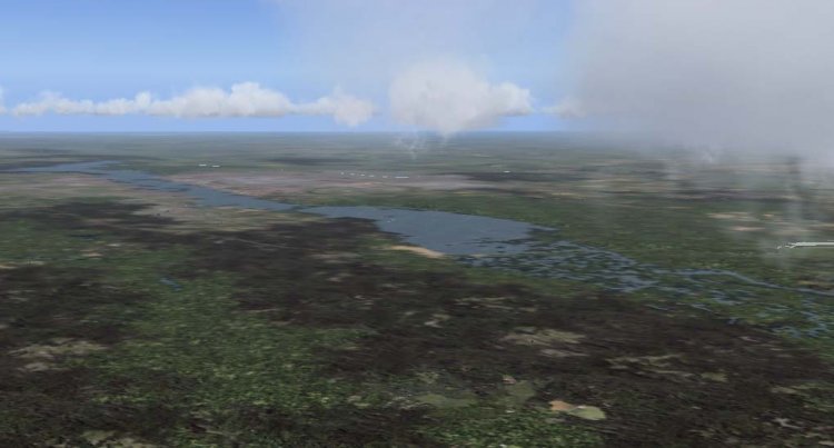
This package converts files default scenario Voronezh and its area within a radius of 20-25 km. Modifies the geometry and location of reservoirs, lakes, rivers, road and railway roads, land-surface classes (fields, forests, towns, villages, and more p) in accordance with sputnikomymi images. Lines of power lines is only slightly podpravleny, since there are no data on their location. Shoreline has only removed the wrong default. Flatteny airfields (Chertovitskoe, aviation and air boot Baltimore), edited and arranged by height in accordance with their afkadami.
→ Size:
216 KB
→ Date:
18 years ago (04.03.2008 13:10)
→ Author:
Андрей Милорадов
→ License:
Freeware - Free version, Unlimited Distribution
→ Downloaded:
631 time(s)
The package files work correctly. Establish and provide a preliminary assessment (the first step of future scenarios) can be now. The files of the new version of the entire project, they will be automatically replaced. Evaluate and comment.
− poroh,
18 years ago,
#
Add that this addition is not working correctly with our extreme scenario UUOO "Chertovitskoe in this scenario, the dam and the road made by polygons, which are now closing all of this beauty. Expect a new version of the entire project
− Iqor,
18 years ago,
#